Climate Data Analysis
From rising global temperatures to melting polar ice, the world’s changing climate is revealed through data—massive amounts of it. Climate data analysis is the process of collecting, verifying, and interpreting billions of measurements from around the world. The result: a clearer understanding of our planet’s past, present, and likely future.
This field brings together experts in science, engineering, and computing, who use data to answer crucial questions: How fast are temperatures rising? Which regions are most affected by extreme weather? Are greenhouse gas emissions increasing or declining?
How Is Climate Data Collected?
Modern climate science depends on an extraordinary global network of instruments. Satellites orbiting hundreds of miles above Earth monitor atmospheric gases, surface temperatures, ocean color, and ice extent. Ground stations measure air temperature, humidity, wind, and precipitation at millions of points on land. Ocean buoys track temperature, currents, and acidity far from shore, while weather balloons sample the upper atmosphere.
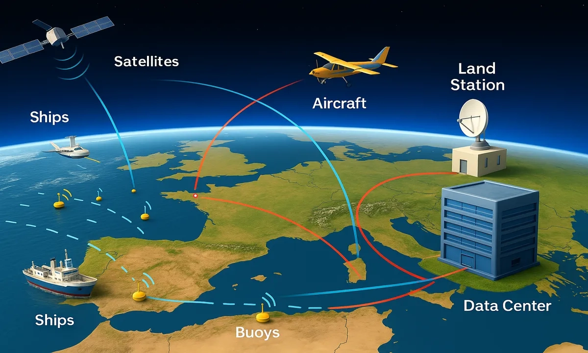
These systems collect data every minute of every day. Climate agencies such as NASA, NOAA, and the European Space Agency combine these data into comprehensive records that allow us to study trends over decades and even centuries.
From Raw Numbers to Big Insights
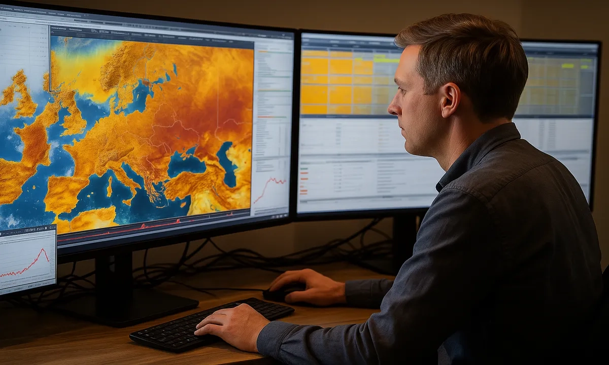
Climate data analysis isn’t just about collecting numbers. Scientists use powerful computers and advanced mathematics to process, clean, and check the data for errors. They use statistical methods, machine learning, and computer models to reveal trends and make predictions.
For example, climate models can simulate how Earth’s temperature responds to rising greenhouse gases, or how rainfall patterns might shift in the future. Big data tools help identify changes that would be impossible to spot by hand, such as subtle shifts in ocean currents or the frequency of heatwaves.
Why Climate Data Matters
Reliable climate data analysis is essential for governments, businesses, and individuals to make informed decisions. It helps cities prepare for heatwaves and floods, enables farmers to adapt their crops, and guides international agreements to reduce greenhouse gas emissions.
Open access to climate data also means that students, researchers, and the public can explore the science for themselves—building trust and understanding about our changing world.
Looking Ahead: The Future of Climate Data
As technology advances, climate data will become even more detailed and accurate. New satellites, artificial intelligence, and citizen science initiatives are making it easier than ever to understand and protect our planet. By turning vast quantities of data into knowledge, we can take smarter action for a more sustainable future.